
D.O.D.& SURVEY CO.,LTD.
บริษัท ดี.โอ.ดี.แอนด์ เซอร์เวย์ จำกัด

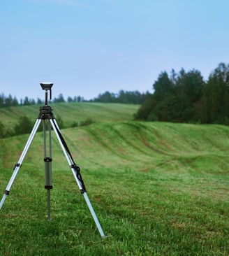


SERVICES
D.O.D.SURVEY specializes in conducting surveys, but over the years, we have undertaken a range of projects in both industrial and residential property development. Our team is flexible and possesses expertise in all facets of construction work.
01
02
03
บริการ งานสำรวจที่ดินและวางผังโครงการก่อสร้างครบวงจร
Property Project
Pilling work
Contacts us
Call 094-409-7864
Email sales.dod.survey@gmail.com
✅ Add us on LINE Scan the QR code to connect with D.O.D. & Survey Co., Ltd. for fast support and service inquiries. We are here to assist you at every step, ensuring that your experience is smooth and efficient. Don't hesitate to reach out for any questions or guidance you may need on our services.